| Stakeholder | What they get |
|---|
Drivers
truck / commercial, gig 2-wheelers | Real-time Hindi warnings that help prevent crashes (hazard, collision, lane, pedestrian); fatigue/phone nudges on long hauls. Video protects them from false blame. Good driving shows up in a safety score. It's on your side — not surveillance. |
| Fleet owners | Every truck, driver and route on one live screen. Fewer accidents mean fewer write-offs, less downtime and, over time, better insurance terms. Driver accountability (fatigue/phone/belt) without sitting in the cab. Geo-fencing for theft/deviation alerts. Compliance-ready as norms tighten. |
| Logistics operators | Route-risk intelligence for safer, more predictable ETAs; fewer delays from accidents and breakdowns; cargo/vehicle security via live tracking; a road-condition dataset that improves routing over time. |
| Insurers | Verifiable, timestamped, geotagged incident evidence plus road-risk data — for sharper pricing, faster claims and less fraud. Our evidence helps support claims; it never guarantees a payout. |
Cities & road authorities
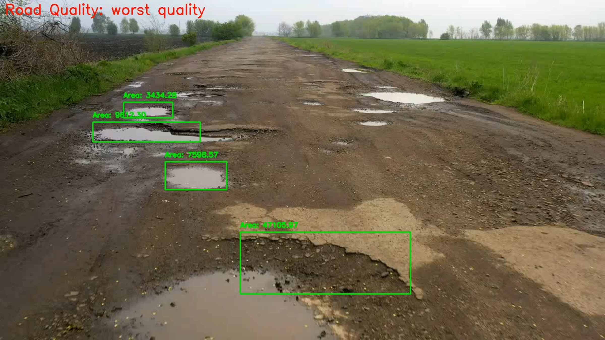
B2G | A live pothole/hazard map for data-driven repair prioritisation. Human-in-the-loop — AI augments the official, never replaces them — and privacy-first: faces and plates blurred on-device, DPDP-aligned. |
| OEMs / map & navigation | A real-time in-cab hazard layer built for Indian roads — differentiated ADAS and navigation, with no new hardware. |
Vulnerable road users
2-wheeler riders, pedestrians | The people who die most. Hazard and blind-spot alerts target the most lethal collision types — the core of the mission. |
| Society / the nation | Movement toward zero road deaths, plus a road-safety dataset for Indian roads — a public good and our competitive moat. |